Home
Syncline North Hike, July 28,
2012
Seven hikers participated in the trip to north side of
Logan Peak: Jim (the leader), Gary, Roddy, Dave W., Jane,
Denis and Allie. We
call this the "North Syncline" trail, but the official name is the
"Logan Dry-Mill Hollow" trail.
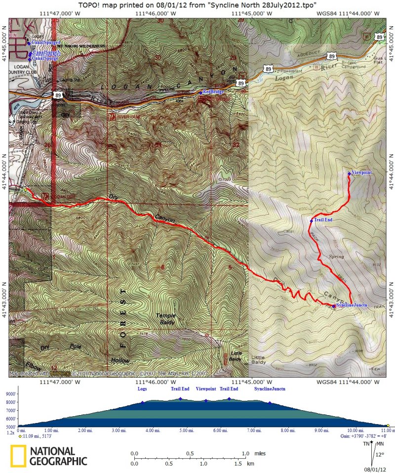
This trip started at the
Logan Dry Canyon trailhead at Logan's Cliffside neighborhood.
We enjoyed good views of the rocky ridges along the canyon sides, melodious
canyon wrens and ripe thimble berries as we trudged up the first
four miles of steep but mostly shady trail (Jane turned back after
3 1/2 miles). Home-made signs attached to a tree marked the
junction of the Syncline South trail at 3.6 miles, but we stayed on the Logan
Dry Canyon trail as it
left the canyon bottom and angled up the hot, open slope toward
the northeast.
We got a refreshing drink from the cool, clear water flowing from
the spring at 4.4 miles, and a sign at 4.8 miles marked the end of
the Logan Dry Canyon trail and the beginning of the
motorcycle-legal Logan Dry - Mill Hollow trail. The sign is
inaccurate, however, since it says the Syncline junction is 0.5
miles away (our GPS showed 1.2 miles) and the and the trailhead is 3.3 miles (our
GPS showed 4.8 miles). After eating lunch in the shade about mile 5.5, we left
the trail and went a short distance further to a sunny point with
great views of Logan Canyon to the east and Logan city to
the west - and there were sego lilies, too.
We returned to the trailhead about 4:00 after an uneventful walk
back down the trail. The total distance for this trip was 11
miles with 3200 feet of elevation gain.
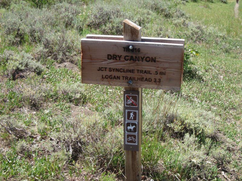
The junction and trailhead are farther away than this sign at the
end of the Logan Dry Canyon trail indicates
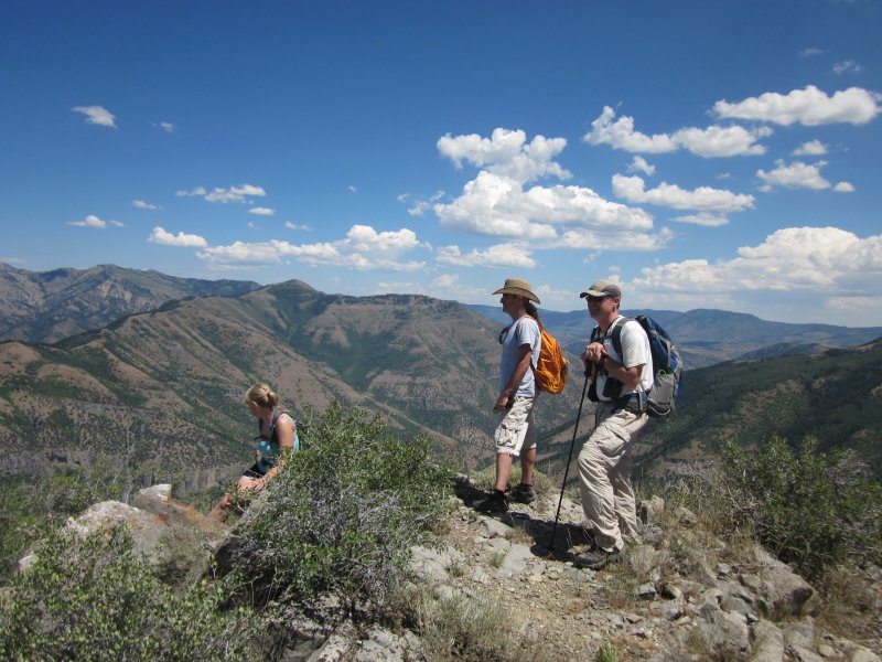
Looking over Logan Canyon
from the viewpoint
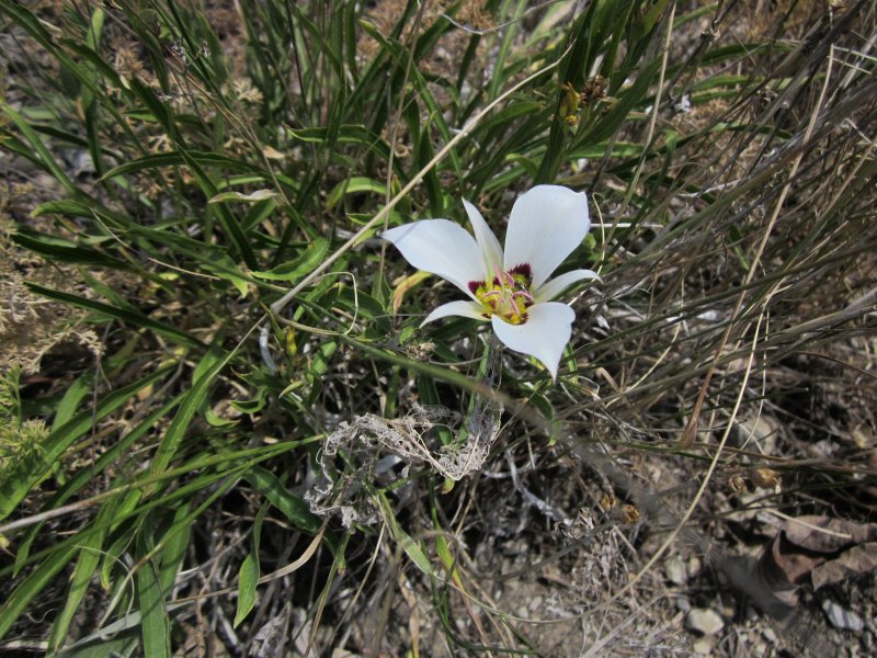
Sego lilies were blooming
at the viewpoint